Be a Cartographer
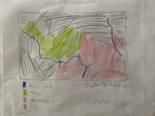
Draw an aerial view map of your World Heritage Site. Include a scale and legend.
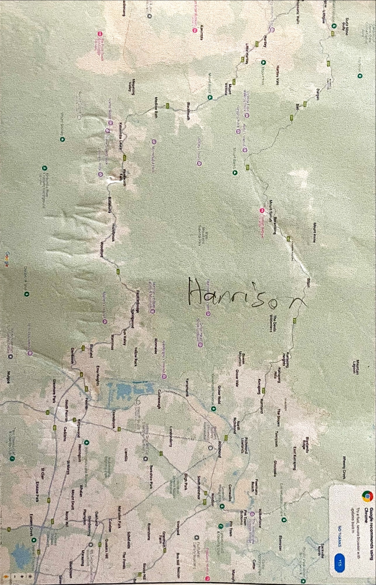
I created this map by tracing an aerial view from Google Maps. To determine the scale, I compared it to a 3D topographical map of Sydney and the Blue Mountains that I have at home, as the Google map didn’t provide one. I coloured different regions of the map based on their categories, such as trees, mountains, and the city, and I used blue to highlight the main roads.

